Getting Real Column - 3
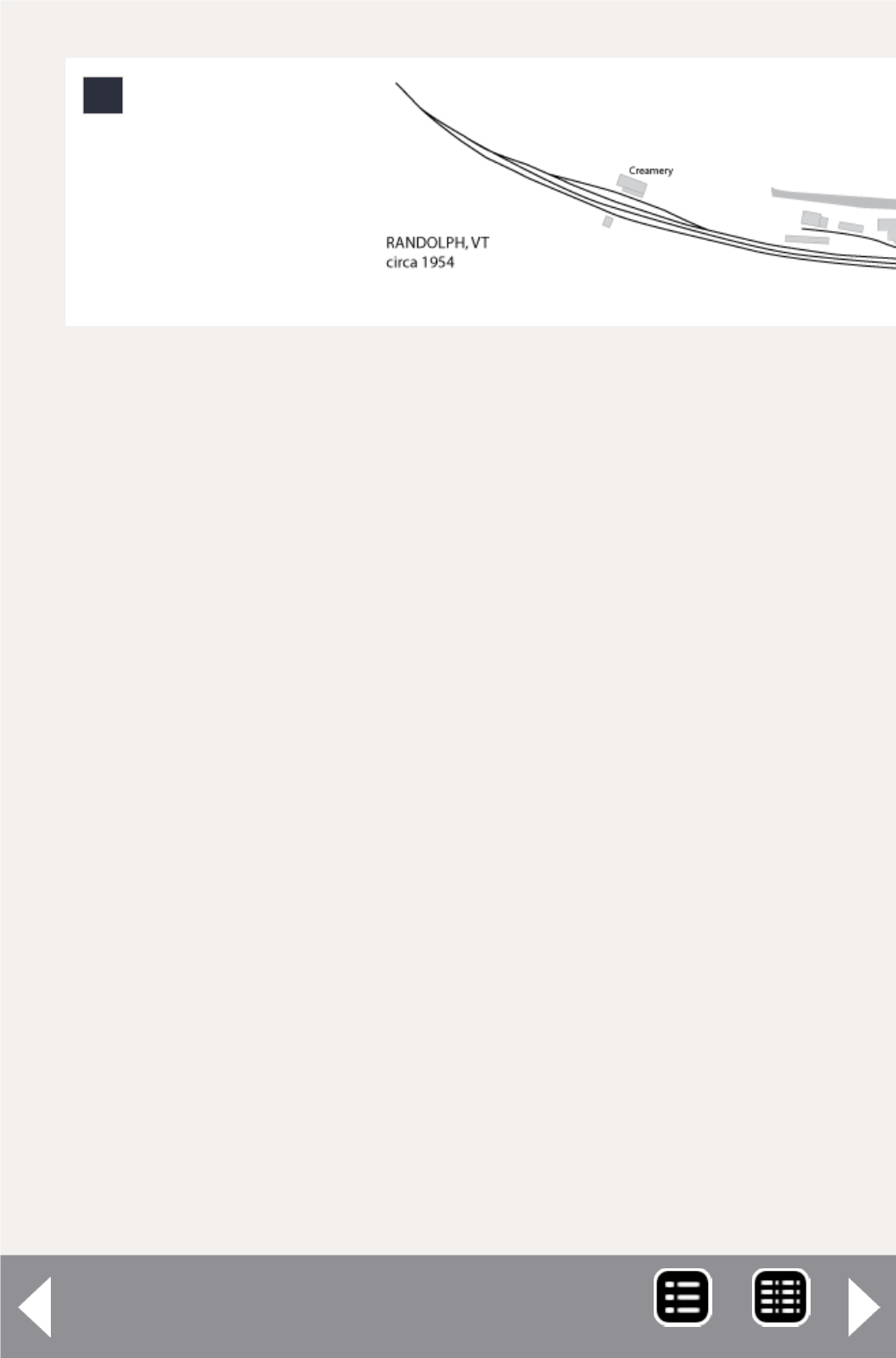
To give you an idea of what the Randolph scene looked like,
I drew this sketch of prototype track arrangement and some
of the other key elements in the Randolph scene from the
time period I’m modeling. I drew this in Adobe Illustrator by
scanning-in various railroad engineering department maps and
Sanborn Fire Insurance valuation maps.
After I scanned the various source materials, I placed them as
individual layers in Illustrator, resizing them until they were in
scale relative to one another, and then traced the outlines in
Illustrator. This isn’t precision work – the diagram shown here
is actually sourced from four different railroad track maps and
two Sanborn Maps. Getting them perfectly aligned with one
another is difficult at best. Luckily, since the goal is not a true
scale rendering but a diagram that captures each of the key
elements in relationship to one another, an accurate scale ren-
dering isn’t really necessary.
Of course I don’t have the length available to exactly dupli-
cate this in HO scale on my layout. So why bother with the
prototype map at all? (I’ve done them for all the other towns
on my layout.)
2. Composite drawing showing the track arrangement,
roads, and industries in Randolph, Vt., circa 1954.
2
MRH-Dec 2014


