What are the track arrangements for those industries (if sat-
ellite resolution permits)?
What motive power is being used?
What equipment is being used?
After spending a couple of evenings “flying” over the short line
using Google Maps and the iPad Maps app, I found the satel-
lite images from Google Maps lagged the iPad Maps satellite
images. A wood pellet manufacturer had added a siding along-
side an existing siding, and an animal feed industry was built
with a runaround track for that industry. The Google Street
View image was newer, and confirmed the additional siding
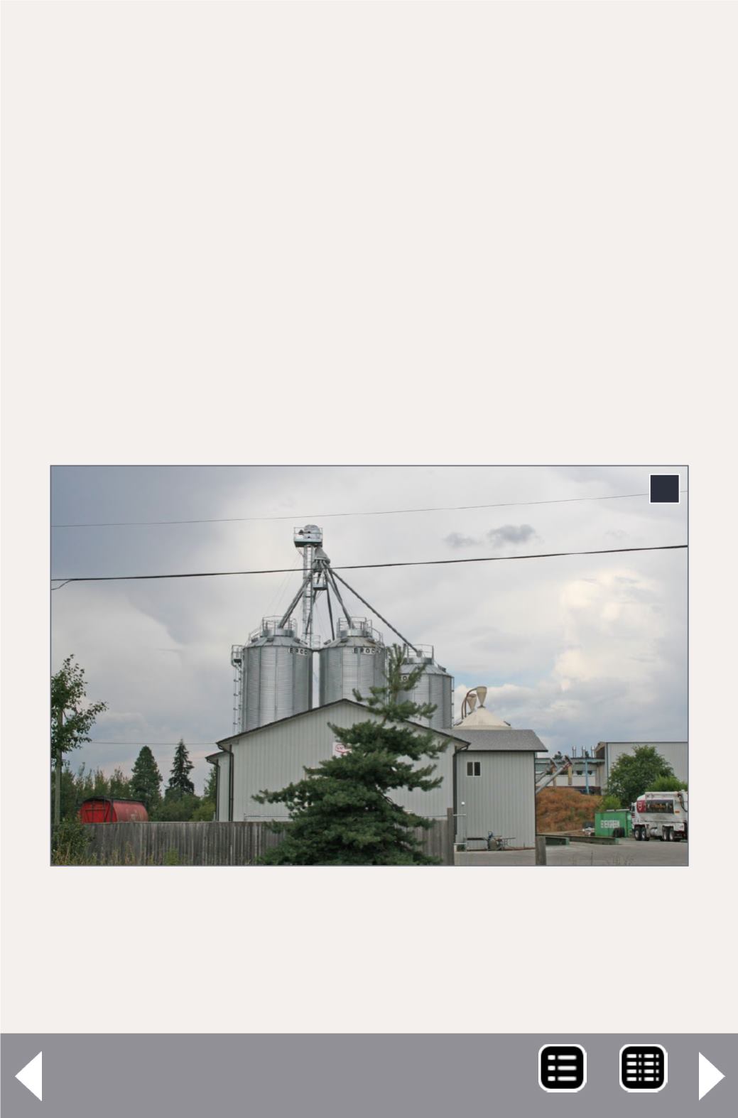
2. The feed industry with covered hopper (left) sitting
on a recently built runaround track. Selecting to model
between the building and the track, with the implied
building in the aisle, will reduce cost.
2


