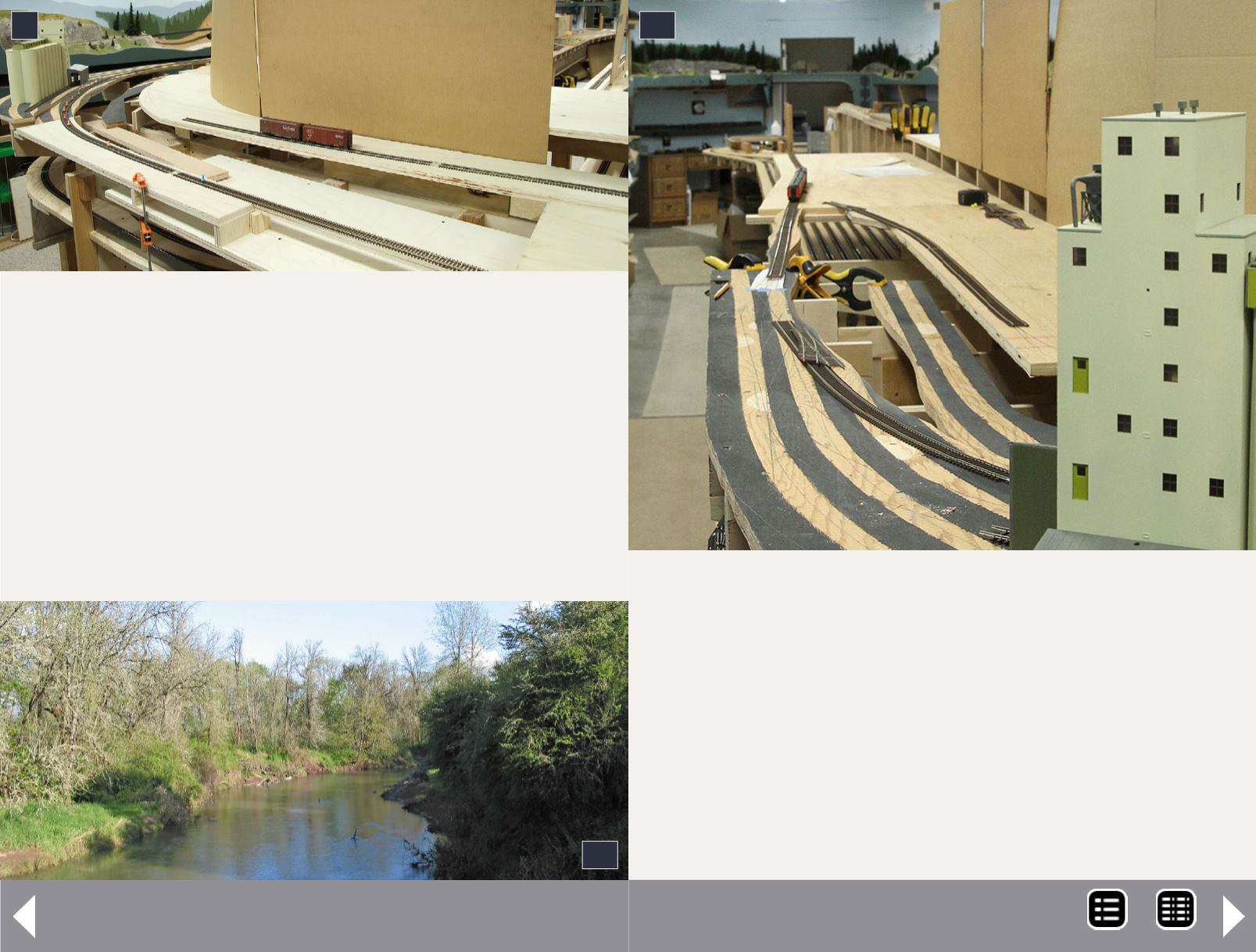
It looked good in the CAD drawings, but once plywood was in
place I saw some conflicts. I wanted the river valley as wide
as possible, but the sidings in Albany Junction needed to be
accessible from the aisle. I wanted the river to be a couple of
inches below the tracks to make visually striking bridge scenes,
but I also wanted gently sloping river banks which significantly
reduce the width available for water in the river.
9: Space for the Santiam River valley is a bit lacking.
10: Crabtree Creek isn't the Santiam River, but it's
nearby and perhaps would make a good substitute.
9
10
Making things worse, the tracks next to the river change nearly
an inch in elevation. The nice CAD drawing of the river (8)
didn't represent these things well (or at least I missed them).
When I started cutting out roadbed for this area it quickly
became apparent I had trade-offs to make.
A possible solution is to model a nearby creek instead of the
river. Crabtree Creek (near the real Albany) isn't as wide, and
11: The riverbed needs to be wider, but the benchwork
for Albany Junction needs to be near the aisle. I'll try to
workaround this issue by modeling Crabtree Creek (10).
11
Up the Creek Column - 6
MRH-Jul 2013


